 Image by James Haworth
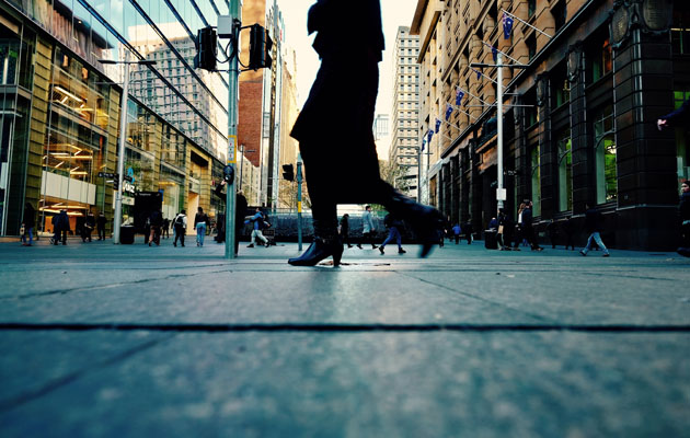
Cities around the world are changing to become more “walkable”. As more and more people move to cities, the benefits of encouraging people to walk are clear. Aside from making the urban environment more pleasant, safer and less polluted, improving a city’s walkability can also ease traffic congestion and improve public health.
This is a particular challenge in cities built for cars, so there’s been lots of research to find out what sort of features make a city more attractive to pedestrians, and encourage them to walk further and more often: whether it’s the size of urban blocks, the quality of the pavement, the presence of trees or street furniture or initiatives such as car-free zones.
Read more: Tony Fretton on how cycling has changed how he designs
But while planners and researchers strive to work out what makes urban spaces enticing to pedestrians, they often overlook the fact that people’s decisions about where to walk, and when, are not only determined by the physical qualities of the environment. In fact, new research suggests that these choices are strongly influenced by other people.
Under the influence
There’s already lots of evidence that people are highly influenced by their friendship groups. As early as the 1970s, an American sociologist called Mark Granovetter suggested that the spread of rumours, adoption of new tech and job searches were all influenced by a person’s social network – especially their “weak ties” with acquaintances.
At the same time, two other American sociologists, Paul Burstein and Carl Sheingold, found that political voting patterns were also significantly influenced by a person’s social network. Even more recently, researchers discovered that you are more likely to be obese if your social network contains obese friends.
There’s clear evidence that there’s a social dimension to walking, too. For example, a child is more likely to walk to school if they have a sibling or friend to walk with. Gender, class and the distance to work all affect whether or not a person chooses to walk. And people prefer to go with friends when walking for leisure in the city.
![]() A pathway in Berlin. Photo by Yu Siang Teo
A pathway in Berlin. Photo by Yu Siang Teo
More than that, in I conducted with colleagues at ETH Zurich and the University of California, we looked at how the routes people choose to take when walking can be influenced by others; we call this phenomenon “social wayfinding”.
Social wayfinding
Perhaps the clearest example of social wayfinding is when two or more people are walking together, trying to reach a destination. They might plan where to go, identify landmarks along the way, and discuss their choice of route together.
This activity becomes less social when one person leads the way, and others follow along; whether that’s a guide leading a tour, or a person leading a friend to their house. Both of these are examples of “strong” social wayfinding, because decisions about where to go are directly and intentionally influenced by other people.
Social wayfinding also happens when pedestrians take hints from others, which influences their choice of route. When a walker believes that other travellers might share the same destination – for example, when they follow fellow supporters from the train station to the football stadium for a match – he or she may simply go with the flow.
Similarly, the movement of people through a gap between two buildings might indicate a shortcut you wouldn’t otherwise have noticed. This is what we call “weak” social wayfinding.
Timing also plays a role. For example, directions or guidance can be given before a journey, or while walking (over the phone, for example). It can even be that the past movements of others leave “social trails”, which can indirectly inform pedestrians where to go – like the worn tracks across grass, which might hint at a shortcut through a park.
![]() An example of worn paths. Photo by Alex Bertha
An example of worn paths. Photo by Alex Bertha
The social city
Of course, people navigate using many different types of social wayfinding during the course of their walk. Apps such as Google Maps or Citymapper can also be used in a social way: although they’re typically designed with a single navigator in mind, in reality it’s not unusual for two or more people to be using a device at the same time, passing it around, discussing the instructions and jointly making decisions about where to go.
To create walkable cities, of course it’s important for planners and city leaders to understand what sort of physical features encourage people to walk more. But acknowledging how social interactions influence people’s choices about when and where to walk would give leaders a much more realistic understanding of people’s behaviour – and put them in a better position to encourage walking as a means of getting around.
Understanding how other people influence wayfinding could also clear the way for many exciting technological innovations, which could make cities easier to navigate. Social trails could be mapped by digital apps or physical markers, and signage could be dynamic, possibly even functioning like an online recommendation system – for example, by flagging quieter routes during busy periods of the day. Wayfinding aids such as maps, signage and apps can be tested on groups, as well as individuals, to make them more useful in both settings.
By being more responsive to the social influences, which affect where people choose to walk, urban planners and leaders could gain valuable information about the way people use the city, and make smarter decisions about what to build, and where.![]()
Ruth Dalton is professor of Building Usability and Visualisation at Northumbria University, Newcastle.
This article is republished from The Conversation under a Creative Commons license. Read the original article.


